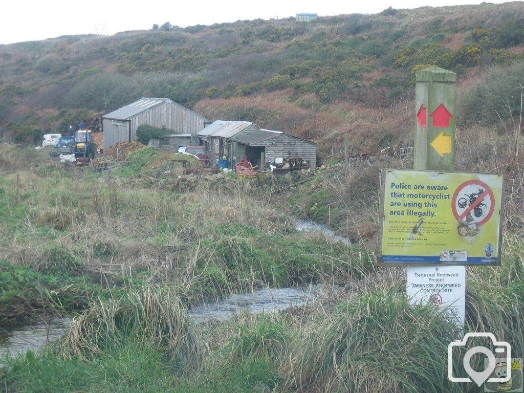
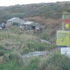
Yes Chill, I agree with you. The sheds are just below the track which goes on to a junction. One track goes up the hill to Botallack mine, and the LH track goes down to Wheal Call or the modern name of Porthledden Cove. The farm you mention was run by EJ. Do you agree with that?
To illustrate the point, in a fit of desperation - not being able to find my map, I checked on Googlemaps; there is a place to the south of St Just in Penwith called Keynack according to Google. I have a screenshot of the map. I could not find any names or references to any places that I was looking for (as expected) and eventually found what I needed on British History Online.
Cornish Key Interactive Mapping is a very good site provided by the County, and covers a great deal of subjects, but you cannot search for places other than towns and villages. It is very good for finding details on selected places in specific areas of interest. But to find Keynack and not Kelynack on Google is reprehensible.
Treeve. I was intrigued by your post, so I typed Kelynack into Google and selected maps and it came back with Kelynack, St Just Cornwall TR19, UK. With the arrow pointing just where you might expect to see it. I wonder how our searches differed?
This site uses cookies to help personalise content, tailor your experience and to keep you logged in if you register.
By continuing to use this site, you are consenting to our use of cookies.