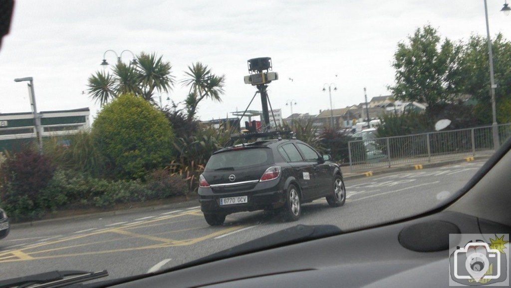
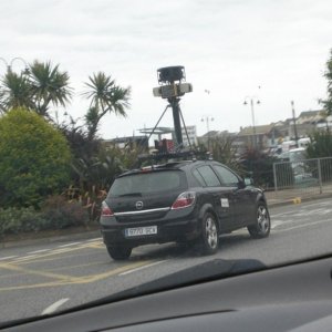
Anyone else see this today? It may take a couple of months before the pictures appear as Google have to go through every image to blur faces and car registration plates.
Why are Google doing this tour? I do not see the point. Just who is going to trawl through hours of street scenes at 30 miles an hour, with blurred out faces? It will do nothing at all to promote the best or worst of any town, neither will it identify our heritage or our services, or anything at all. Totally pointless.
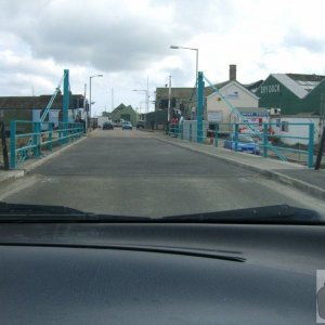
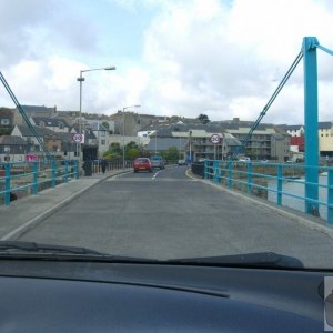
Google Street View is a feature of Google Maps and Google Earth that provides for many streets in the world 360° horizontal and 290° vertical panoramic views from a row of positions along the street (one in every 10 or 20 meters, or so), from a height of about two meters. It was launched on May 25, 2007, and has gradually expanded to include more cities, and in these cities more streets, and also some rural areas.
Twill be like a ground-level 3D map of the streets, invaluable for solving mystery pics, I m hoping!
Disagree Treeve. It s a fantastic thing. I ve used it when travelling to an unfamiliar place to see turnings and landmarks before you get there. You can happily spend hours touring around familiar places too. Like PicturePenzance celebrates the small things so StreetView does too.... you can maybe link in answers to mystery pics to sharpen up memories for those of us whose knowledge of Penzance is fading a bit duh
This site uses cookies to help personalise content, tailor your experience and to keep you logged in if you register.
By continuing to use this site, you are consenting to our use of cookies.