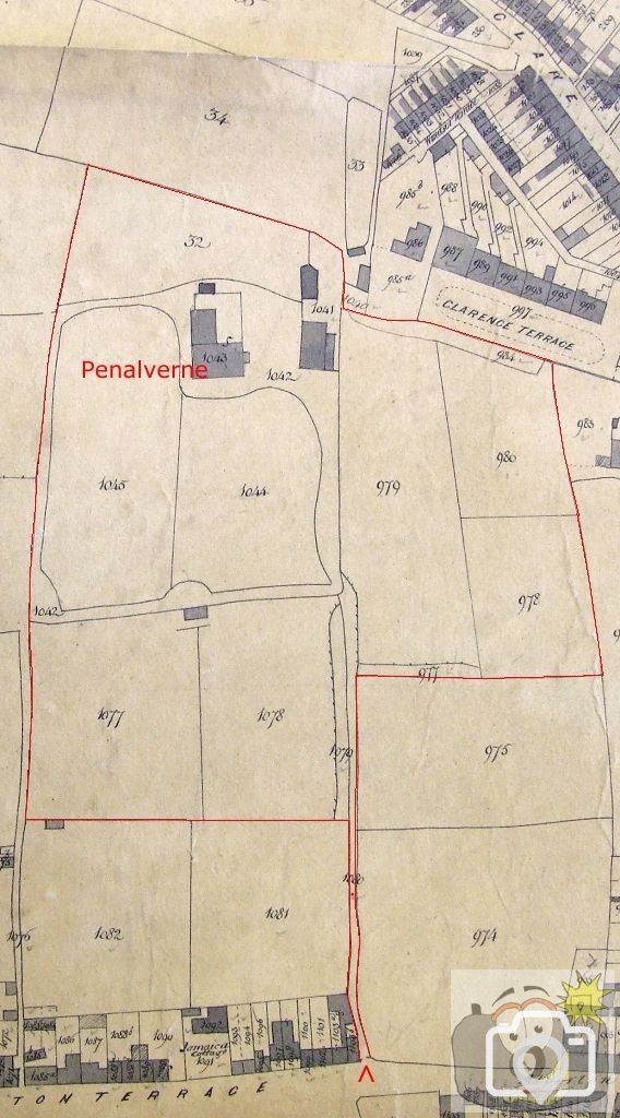
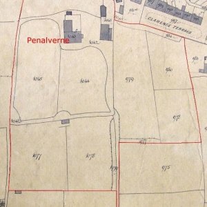
Further to the enquiry by ben1997 here is the 1844 Tithe Map,
showing the Bolitho Penalverne Estate.
The house name did not appear to have been adopted until later.
Penalverne
In 1845, in the Penzance Tithe Apportionment Book,
Thomas Simon Bolitho is recorded as owner and occupier of the lands;
977 Plantation, 979-980 Scobell's Land, 984 Plantation, 1041 Stable Outhouse and Yard,
1042 Shrubbery and Walk, 1043 House, Outhouse and Yard, 32 Garden, 1044 Lawn, 1045 Lawn,
1077-9 Boase's Land, 1080 Road;
Area 8 Acres 3 Rods 2 Poles
Payable to the Vicar £6.8s.6d
Payable to Valentine LeGrice (Improprietor) 15shillings.
The numbers in front of each parcel record the number of the part on the Tithe Map,
which coincide with the numbers on this 1844 Tithe Map;
I have marked on the boundary of the Bolitho Land.
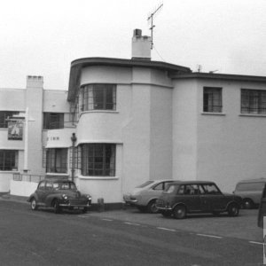
The estate was further developed and the house enlarged over the years.
The name Alverne is a contraction for Alverton, and can be transposed,
as seen on some records naming Nancealverton, etc.,.
Raymond Forward