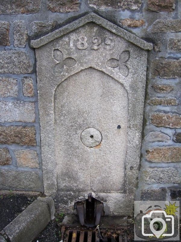
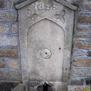
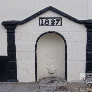
This is the third shoot to be placed here; after the reservoir was built, and the sluice built, a second plain shoot was built; then when the town had more shoots built, this one was added. But, where is it?
Then it is no wonder you knew where it is !! If you ever have a look at the map of Penzance, you will notice a very peculiar feature about the field layouts; it gave me the clue as to just how the water was brought from Madron Well to the reservoir. I have found a length of the original granite channel still in existence. An engineering and geographical miracle over 250 years old.
The route of the water course has bothered me for many years; one day when talking to my boss - he mentioned a deed concerning the right of way for the water course. I then looked at the 1936 OS map, and after a couple of minutes it hit me like a flying brickbat; although we had poured over these maps for years, it was never in that area. I have recently acquired a set of 1875 OS maps, and it shows quite clearly on that, but only if you know where to look.
I am in the process of making those maps freely available to you all on Picture Penzance; I will upload another one soon, but I will actually mark the route of this valuable piece of our history. I am about to start taking measurements and recording the details, and these will be submitted to Truro for their records. Penwith expressed an interest but were not forthcoming with anything; I feel that something should be done, and will be pressing for funding to preserve it. I have record photographs.
This site uses cookies to help personalise content, tailor your experience and to keep you logged in if you register.
By continuing to use this site, you are consenting to our use of cookies.