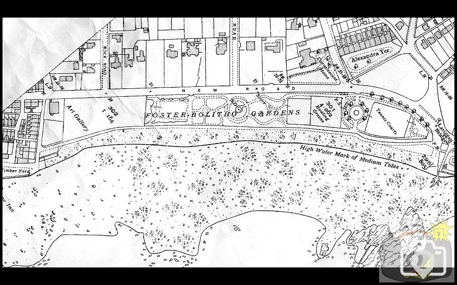
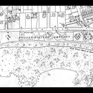
Foster Bolitho Gardens.
1936 OS Map of the area, showing the area cut back and adjusted.
Seaward path route altered, route as now.
Note that by this time, the beach had changed to that of shingle.
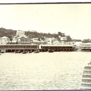
I see the Lariggan rocks are well defined at one time they were visible at high tide that is until jerry unloaded a stick of bombs on them
which I believe was our first bombing of WW2
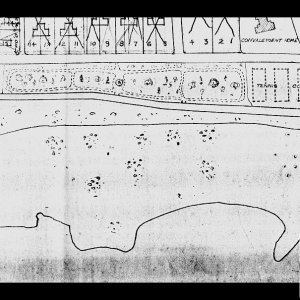
I see the darling little footbridge is marked, across the Lariggan river. Is there a non-copyright pic of this anywhere, that some kind soul could upload?
@Penzancemaid - I have a few, but I am checking in the copyright situation first.
@denanmor - they were after you, but had set the clocks too early ....
I have received a comprehensive reply concerning copyright issues surrounding the use of certain images.
I will be making an announcement with regards to that shortly. The criteria surrounding that possibility are specific and must be met.
Not at all ominous, the site will be the better for it, ::6:
but the gates must not be opened yet, until I have passed on the criteria. Just putting it all together for everyone.
This site uses cookies to help personalise content, tailor your experience and to keep you logged in if you register.
By continuing to use this site, you are consenting to our use of cookies.